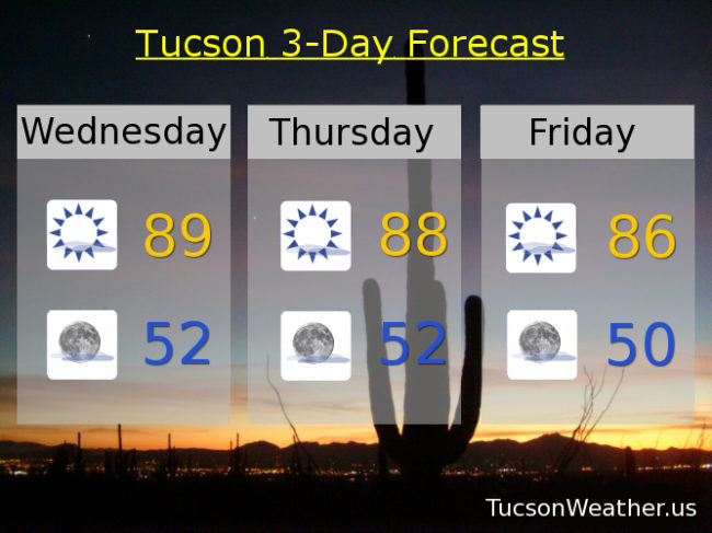
We continue to remain under pressure. High pressure centered over NW Mexico is large and in charge over southern Arizona causing our run of near record highs. Yesterday we hit 89 which was 1 short of the record and also the highest high in the United States. Today we do it again. If the forecast high of 89 is realized we will tie the record last hit last year. Sigh. There is some relief in sight. Strong storms affecting the Pacific Northwest will bring us a few degrees of cooling by this weekend, but we will remain well above the seasonal averages. Our average high and low for this time of year are 74 and 46 respectively. High clouds still in the forecast for possible sunrise and sunset enhancement so keep those cameras and smart phones handy!
Mostly sunny today with a high near 89.
Mostly clear tonight with a low near 52.
Upper 80s tomorrow. Mid 80s Friday. Near 80 Saturday. Low 80s Sunday, Monday and Tuesday.