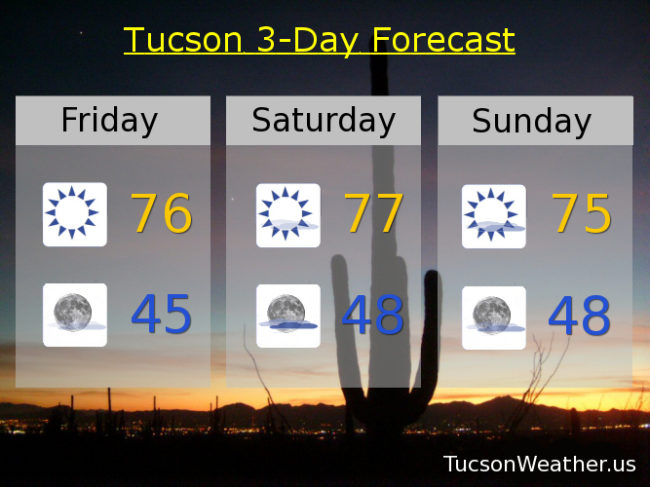
“Things” are getting interesting. Especially mid next week. High pressure still in control, but a storm moving through the Four Corners this weekend will add some added clouds to the mix. Sunrise and sunset enhancement certainly a possibility. Still warm with highs today through Monday in the mid to upper 70s.
The models are in agreement! A storm approacheth Monday and Tuesday with a slight chance for rain with highs in the mid 70s.
The storm moves through Tuesday night and Wednesday with valley rain and mountain snow. Early indications are we could see up to a half inch of rain with snow levels as low as 5,000 feet before the storm leaves us. Wednesday’s high in the mid 60s.
Sunshine returns Thursday with a high near 65ish. The details will come into better focus as we get closer. Stay tuned!