A dry southwesterly flow is here between our high that has left us to the east and a storm system that approacheth the Pacific Northwest. We will see breezes increase as the system moves through the Great Basin tomorrow. “Cooler” air will invade as well but still warm enough to jump in the pool. Perhaps a few high clouds from time to time for possible sunrise and sunset enhancement. High pressure builds back in next week for the heat to return. Early indications are that it could be the real deal heat by next weekend. Like maybe one-teens hot?! I’ll keep you posted! What else do I have to do? 🙂
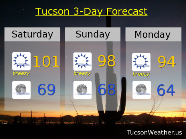
Sunny and breezy today with SW winds 5-15 mph gusting to 25 and a high near 101.
Clear skies tonight with a low in the upper 60s to near 70.
Sunny and breezy tomorrow with SSE winds 10-20 mph gusting to near 30 and a high in the upper 90s.
Sunny breezy Monday mid 90s. Upper 90s Tuesady. 103ish Wednesday. 104 Thursday. 105 Friday.