
Monthly Archives: June 2017
Forecast for Monday, June 5, 2017
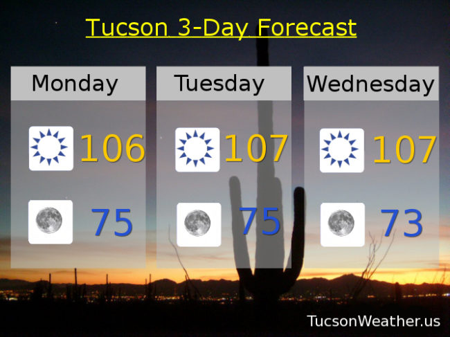
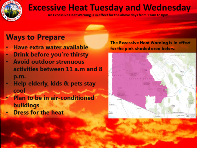
Holy Heatwave Batman! This forecast is hotter than blue blazes! Hot enough for the National Weather Service to issue an EXCESSIVE HEAT WARNING for tomorrow from 11am – 8 pm and Wednesday too. Be warned. The heat will be excessive! Today will plenty hot too so take the same precautions. Stay in the AC if you can. Avoid being in the Sun during the heat of the day. Drink lots of water lest you burst into flames. Not much cooling in the forecast until Saturday or so when our high pressure will be moving east and a system will be moving to our north. Until then, be cool.
Sunny today near 106.
Clear skies tonight near 75.
Sunny tomorrow and Wednesday with highs near 107. 106ish Thursday. 104 Friday. Breezy 102 Saturday. Breezy 100 Sunday.
Almanac for Sunday, June 4, 2017

Forecast for Sunday, June 4, 2017
Hot! Stay hydrated lest you burst into flames. Be cool 🙂
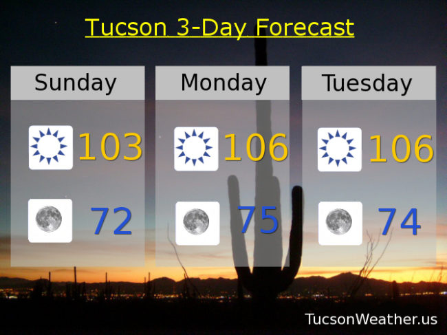
Sunny today with a high near 103.
Clear tonight with a low near 72.
106ish Monday and Tuesday. 107 Wednesday and Thursday. 106 Friday. 102 Saturday.
Almanac for Saturday, June 3, 2017

Forecast for Saturday, June 3, 2017

Everybody into the pool! The big hurt is here for the entire seven day forecast as high pressure will be large and in charge. Be cool!
Sunny today with a high near 103.
Clear skies tonight with a low in the low 70s.
Sunny tomorrow with a high near 103. 105 Monday. 106 Tuesday and Wednesday. 105 Thursday. 103 Friday.
Almanac for Friday, June 2, 2017
Forecast for Friday, June 2, 2017
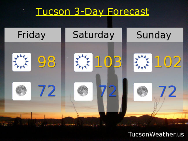
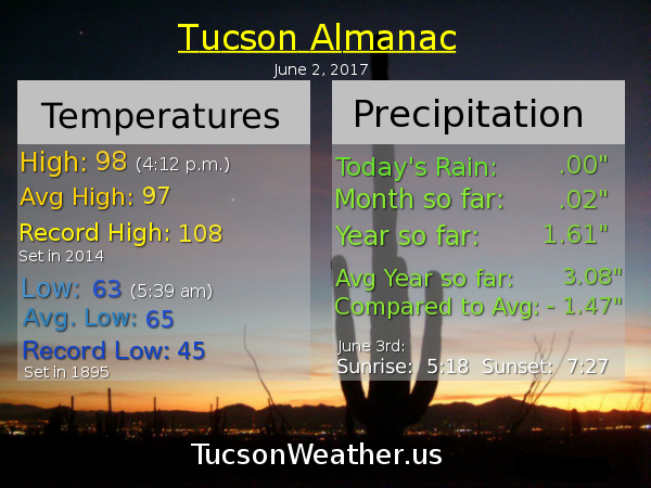
It’s a dry heat. You know, like an oven 🙂 High pressure building in for our first extended run of 100+ degree days just in time for the weekend. Enjoy!
Sunny today with a high in the upper 90s.
Clear skies tonight with a low in the low 70s.
Sunny tomorrow 103ish. 102 Sunday. 105 Monday and Tuesday. 103 Wednesday. 104 Thursday.
Almanac for Thursday, June 1, 2017
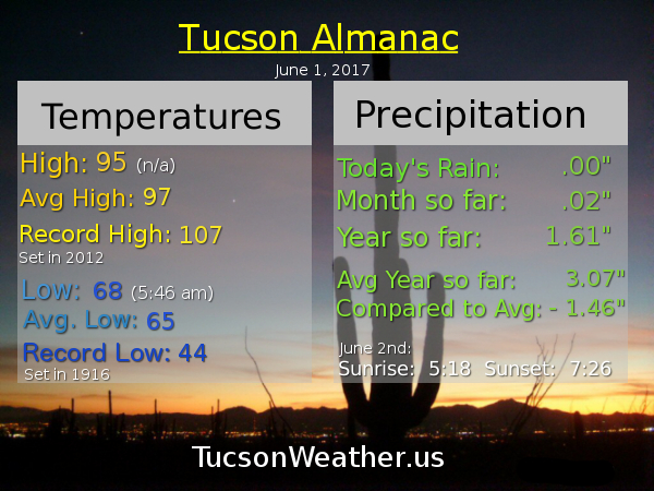
Forecast for Thursday, June 1, 2017
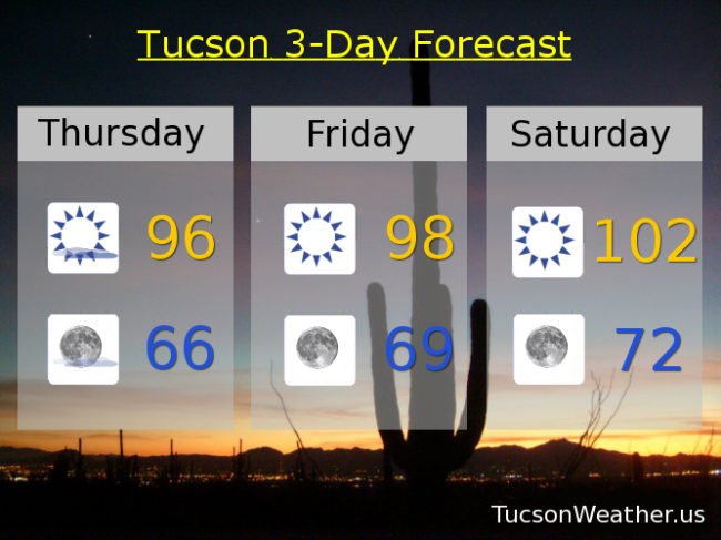
Happy Friday Eve! Makes the weekend seem closer. It’s also June 1st which is the first day of Summer meteorologically speaking. Of course June is also our hottest month around these parts, so there’s that. Just a little cooler today as our weak low is taking it’s sweet time exiting the state. It will be taking these mid and high level clouds with it as the day rolls on. Then high pressure builds in and flexes its muscles for a warming trend and 100+ degree days right into next week. Enjoy!
Decreasing clouds today becoming mostly sunny with a high in the mid 90s.
Mostly clear tonight with a low in the mid 60s.
Sunny tomorrow upper 90s. Near 102 Saturday and Sunday. 104 Monday. 103ish Tuesday and Wednesday.